
Plan for a Milder Winter, Not a Dry Seattle
Seattle’s 2026–27 El Niño outlook favors a milder, modestly drier winter, but rainy days and heavy storms remain possible. Plan month by month.
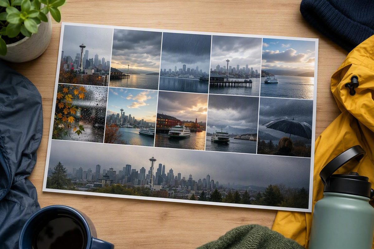
El Niño means Seattle is more likely to have a milder, modestly drier-than-normal winter in 2026–27, but not a dry one. Fall and winter visitors should still expect rainy days, carry a waterproof layer, and keep an indoor alternative. The warmer pattern also raises the risk of thinner Cascade snowpack even if Seattle receives regular rain.
The strongest evidence applies to western Washington and the Pacific Northwest, not to one Seattle rain gauge or a particular neighborhood. The Washington State Climate Office says El Niño favors warmer and potentially drier regional conditions while stressing that the outcome is uncertain (Washington State Climate Office outlook).
A below-normal season can still contain frequent light rain, substantial storms and an atmospheric river. No current source cited here provides a defensible estimate of how many fewer inches or rainy days Seattle will record.
Choose your travel month to see how much weight to give El Niño—and what the available evidence cannot tell you.
Move the month slider. The result separates the supported seasonal signal from monthly figures that the cited evidence does not provide.
December: plan for mild, potentially drier conditions—not a dry trip.
Rain plan: Carry a waterproof shell and keep an indoor alternative near the day’s outdoor activity.
Outdoor/indoor split: Forecast-led; the evidence does not support a fixed ratio. Retain both options each day.
Mountain implication: Milder conditions can raise snow levels, so check pass and mountain forecasts separately.
Very Strong El Niño Chance
>90%
Northern Hemisphere fall and winter 2026–27
Strongest Since 1950 Chance
69%
Event-strength probability, not a Seattle rain probability
July 2026 Niño-3.4 Index
+1.4°C
Cannot be converted into inches of Seattle rain
| Month | Normal Rain Days | Normal Rainfall | Normal Temperature | Strong-El-Niño Seattle Analog | Supported Planning Result |
|---|---|---|---|---|---|
| September | — | — | — | — | Winter influence is not yet the best guide. Use current monthly and local forecasts. |
| October | — | — | — | — | Transition month. Keep full rain flexibility as the regional signal develops. |
| November | — | — | — | — | Late-fall El Niño influence becomes more relevant; mild and potentially drier does not mean dry. |
| December | — | — | — | — | Winter signal is relevant. Carry rain protection and preserve an indoor alternative. |
| January | — | — | — | — | Winter signal is relevant, but heavy storms and atmospheric rivers remain possible. |
| February | — | — | — | — | Winter signal remains relevant. Check snow levels separately for mountain travel. |
| March | — | — | — | — | Do not assume the winter tendency fixes early-spring weather; use the latest outlook. |
— means the cited material does not provide a verified monthly Seattle normal or Seattle rain-gauge comparison for the 1982–83, 1997–98 and 2015–16 analogs. No values have been estimated.
| El Niño Winter | Seattle Monthly Rain | Seattle Monthly Temperature | Available Interpretation | Decision Use |
|---|---|---|---|---|
| 1982–83 | — | — | No verified Seattle figures in the cited material. | Do not infer a repeat. |
| 1997–98 | — | — | Third-party reporting describes Northwest precipitation as roughly near normal; this is not a Seattle gauge total. | Shows that a strong event need not produce regional dryness. |
| 2015–16 | — | — | Third-party reporting describes the Northwest winter as wetter than average; this is not a Seattle gauge total. | Keep protection for wet and heavy-rain periods. |
Sources: NOAA ENSO Diagnostic Discussion; Washington State Climate Office early-August outlook; historical regional analog descriptions cited in the accompanying article.
The 2026–27 Signal Favors Mildness More Than Dryness
NOAA’s August 13 ENSO Diagnostic Discussion listed an El Niño Advisory and said the event was strengthening. It assigned a greater than 90% chance of a very strong El Niño during Northern Hemisphere fall and winter 2026–27 and a 69% chance that it would become the strongest event since 1950. The July 2026 Niño-3.4 index was +1.4°C (NOAA ENSO Diagnostic Discussion).
Those figures describe conditions and probabilities in the tropical Pacific. They cannot be converted into a specific Seattle rainfall total.
Stronger El Niño events increase the chance of characteristic large-scale effects, but they do not guarantee those effects in every region. “Very strong El Niño” therefore does not mean “very dry Seattle winter.” Temperature and precipitation also need to be considered separately: the winter could be unusually mild without being proportionally dry.
The Washington State Climate Office’s early August assessment said the odds of a very strong event by fall had increased. Its regional precipitation outlooks included two bounded dry signals:
| Forecast Area And Period | Chance Of Below-Normal Precipitation |
|---|---|
| Western Washington, August 2026 | 33%–40% |
| Far northwestern Washington, including north Puget Sound, August–October 2026 | 40%–50% |
These were regional category probabilities, not exact forecasts for Seattle. A 40%–50% probability of below-normal precipitation still leaves a substantial combined probability of near- or above-normal precipitation.
The figures also covered August and August through October, not the entire 2026–27 winter. Later monthly and three-month outlooks can change as ocean and atmospheric conditions evolve.
El Niño Changes Seattle’s Seasonal Odds, Not Its Daily Forecast
El Niño is the warm phase of the El Niño–Southern Oscillation, or ENSO. Warmer-than-average surface water in the central and eastern equatorial Pacific changes tropical rainfall and atmospheric circulation. The Pacific jet stream can shift south of its neutral position, directing more storms toward the southern United States and leaving the northern United States comparatively warmer and drier.
NOAA says El Niño episodes commonly last nine to 12 months, although some persist longer (NOAA explanation of El Niño). The regional influence is usually clearest from late fall through winter, so El Niño should not be used as a shortcut for predicting a dry Seattle summer.
The jet stream does not remain fixed for a season. Shorter-lived atmospheric patterns can still send several Pacific systems into western Washington. ENSO shapes the background probabilities within which those storms move; it does not cause or prevent a particular Saturday’s rain.
This distinction separates three kinds of information:
| Information | What It Answers | What It Cannot Answer |
|---|---|---|
| ENSO advisory | Whether El Niño is active and how it may develop | Seattle’s eventual rainfall total |
| Monthly or three-month outlook | Regional odds of below-, near- or above-normal precipitation | Whether a particular day will be wet |
| Local forecast | Expected weather over the next several days | The final character of the whole winter |
A seasonal outlook should not decide whether to reserve an exposed table, schedule a waterfront walk or take one ferry trip. The short-range Seattle forecast should carry much more weight for those choices.
Below-Normal Precipitation Does Not Mean Fewer Rainy Days
Seasonal outlooks divide total precipitation into below-, near- and above-normal categories. They generally do not forecast Seattle’s exact number of rainy days, storm count or length of dry spells.
“Less rain” could mean a lower total volume, fewer measurable-rain days, fewer major storms, lighter rain or longer gaps between systems. The outlook does not establish which combination Seattle might experience.
A season with frequent drizzle can accumulate less total precipitation than normal. A season with long dry intervals can still include several heavy storms. One wet December could be followed by dry January and February conditions, leaving the winter below normal overall. A dry December could likewise be offset by later storms.
NOAA’s Climate Prediction Center publishes official monthly and three-month outlooks. Each map needs to be read with its issue date, forecast period, legend and geographic boundaries (CPC seasonal outlooks). A broad western Washington category should not be presented as an exact probability for Seattle unless the official map and discussion support that interpretation.
Strong El Niño Analogs Do Not Supply a Reliable Seattle Total
Only a small number of past El Niño events are comparable in strength, which limits the usefulness of simple analogs. Other atmospheric patterns differ from winter to winter and can reinforce, weaken or temporarily reverse El Niño’s expected influence.
Third-party regional reporting describes the 1997–98 Northwest season as roughly near normal in precipitation and the 2015–16 Northwest winter as wetter than average. These are regional descriptions, not verified Seattle rain-gauge totals (historical El Niño scenarios). They illustrate why event strength is not a dependable Seattle dryness scale.
The supplied evidence does not contain monthly Seattle rainfall, rainy-day or temperature figures for the 1982–83, 1997–98 and 2015–16 analog winters. It also does not contain the corresponding monthly climate normals. Those values are therefore shown as unavailable in the planner rather than estimated.
The analogs support a limited conclusion: a strong or very strong El Niño does not prevent a near-normal or wet regional winter. They do not support a claim that Seattle will repeat any one previous season.
Seattle Can Still Get Heavy Rain and Atmospheric Rivers
El Niño does not form a barrier against atmospheric rivers. Short-term circulation patterns can direct concentrated Pacific moisture into Washington during a season that ultimately finishes below normal.
A storm forecast and a seasonal outlook answer different questions. The storm forecast identifies where rain may fall over the next hours or days. The seasonal outlook estimates which precipitation category is more likely over a month or three-month period.
Several intense storms can occur within a drier-than-normal season if long dry intervals offset them. Conversely, many damp days do not necessarily produce an above-normal seasonal total. Travelers should retain a rain plan even when the seasonal map leans dry.
A Mild Winter Can Leave the Cascades With Less Snow
Seattle rainfall, lowland snowfall and Cascade snowpack are related but distinct measurements. A warm winter can produce regular rain in the city while limiting snow accumulation in the mountains.
Warmer conditions raise the snow level, causing a greater share of mountain precipitation to fall as rain rather than snow. The region could receive precipitation closer to normal while storing less of it as mountain snow.
Poor Cascade snowpack therefore does not prove that Seattle received less rain. A rainy Seattle period also does not establish that the mountains accumulated snow efficiently.
A plausible 2026–27 pattern includes mild Seattle temperatures, recurring lowland rain, higher mountain snow levels and thinner snowpack. The eventual result will also depend on total precipitation, storm temperatures, spring conditions and melt timing. The current evidence does not provide a specific Cascade snowpack percentage or Seattle reservoir forecast.
Keep the Rain Plan for Every Fall and Winter Month
For a Seattle trip, pack a light waterproof layer rather than relying on the seasonal dry tilt. Keep at least one nearby indoor alternative for any outdoor-heavy day.
A rainy-day neighborhood itinerary reduces the cost of changing plans. Combine a market, museum, café or covered attraction with shorter outdoor segments instead of depending on long exposed crossings between distant areas.
Use the source that matches the decision:
- Check NOAA’s ENSO discussion for the current El Niño status and expected development.
- Check the latest CPC precipitation map for dated monthly or three-month regional probabilities.
- Check the NWS Seattle/Tacoma office for the local forecast, radar and precipitation information before a specific outing.
For a flexible Seattle day, put the longest walk in the driest-looking part of the hourly forecast and keep the indoor stop close to the same neighborhood. Recheck the local forecast before a ferry crossing, exposed viewpoint or mountain drive.
Answers to Common El Niño Planning Questions
Does El Niño Mean Fewer Rainy Days in Seattle?
Not necessarily. The available seasonal evidence concerns total precipitation tendencies, not Seattle’s exact number of rainy days. Below-normal precipitation could come from lighter rain, longer dry gaps, fewer major storms or a combination of those changes.
Is a Very Strong El Niño Guaranteed to Make Seattle Very Dry?
No. NOAA says stronger events increase the chance of characteristic impacts, but those impacts are not guaranteed. The small sample of comparably strong events also prevents a reliable strength-to-dryness rule for Seattle.
Should Fall Visitors Expect the Same Signal as Winter Visitors?
No. El Niño’s Pacific Northwest influence is generally more relevant from late fall through winter. Early-fall travelers should put less weight on the winter tendency and more weight on the current monthly and local forecasts.
Can Seattle Be Rainy While Cascade Snowpack Is Low?
Yes. Mild conditions can cause mountain precipitation to fall as rain rather than snow. Seattle can have regular rain while the Cascades retain less water as snow.
Where Is the Latest Seattle Rain Forecast?
Use CPC outlooks for monthly and seasonal probabilities, then use the NWS Seattle/Tacoma forecast for a particular day. Neither an ENSO advisory nor a three-month map can determine whether an individual Seattle outing will be wet.