
How to Reach Snoqualmie Falls by Transit—and Get Back to Seattle
Take the Link 2 Line from central Seattle to Mercer Island, transfer to Route 215, then walk from Railroad Avenue SE and Snoqualmie Parkway.
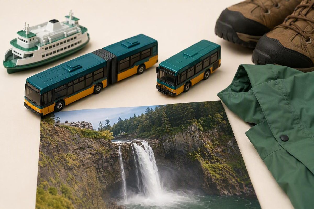
You can reach Snoqualmie Falls from Seattle without a car, but there is no confirmed one-seat ride to the park. The practical route is to take the Link 2 Line from central Seattle to Mercer Island, transfer to King County Metro Route 215 toward Snoqualmie or North Bend, get off near Railroad Avenue SE and Snoqualmie Parkway, and complete the remaining distance on foot.
The bus schedule should determine whether this trip works for your day. Choose a workable return departure before selecting your outbound trip, leave a deliberate transfer buffer at Mercer Island, and consider a tour or prearranged paid ride if the timetable or final walk does not suit you.
Route 215 service change verified: September 2026. Stop-level itinerary details and walking estimates come from third-party planners and must be reconfirmed for your travel date.
The short answer: possible by transit, but not direct
Route 215 began service on August 29, 2026, creating an all-week connection among Mercer Island Station, Issaquah Highlands, Snoqualmie, and North Bend. Mercer Island Station is served by the Link 2 Line, making it the key transfer point for travelers coming from central Seattle. The official announcement confirms service to Snoqualmie, but it does not identify a stop at the Snoqualmie Falls entrance. King County Metro describes the Route 215 launch and regional connection.
The usable trip has three parts:
- Take the Link 2 Line from a convenient central Seattle station to Mercer Island.
- Transfer to Route 215 toward Snoqualmie or North Bend.
- Leave the bus at the planner-listed stop near Railroad Avenue SE and Snoqualmie Parkway, then walk to the falls.
Rome2Rio estimates a downtown example at about 1 hour 58 minutes and $6 one way, but those are provisional figures rather than a promise about your trip. The selected departure, wait at Mercer Island, current fares, service changes, and your starting station can all affect the result. Rome2Rio also classifies the journey as a train-and-bus trip rather than a direct public-transit connection. See the provisional downtown Seattle itinerary and estimate.
This is realistic for travelers who are comfortable with a transfer, an infrequent regional bus, and an unverified last-mile pedestrian route. It is not a dependable turn-up-and-go excursion. If the dated return schedule leaves little useful time at the falls—or the final walk does not fit your mobility needs—a guided tour or prearranged ride is the cleaner plan.
Step-by-step transit route from downtown Seattle
Use the following route card as an outline, not as a substitute for a dated trip-planner result.
| Leg | What to do | Provisional planner detail |
|---|---|---|
| Central Seattle to Mercer Island | Board the 2 Line at a convenient central Seattle station and ride toward Mercer Island | From Symphony, Moovit lists approximately 13 minutes |
| Mercer Island to Snoqualmie | Transfer to Route 215 toward Snoqualmie or North Bend | Moovit lists approximately 44 minutes |
| Bus stop to the falls | Exit at Railroad Avenue SE and Snoqualmie Parkway, then continue on foot | Moovit reports 0.59 mile and approximately 12 minutes |
These segment figures, along with the reported Bay 2 boarding location described below, come from a third-party itinerary and may change. Moovit provides the 13-minute rail segment, 44-minute bus ride, and 0.59-mile final walk.
For a worked downtown example, begin at Symphony station and take the 2 Line to Mercer Island.
After arriving at Mercer Island, walk to the Route 215 boarding point. Third-party planners currently identify it as N Mercer Way and 80th Avenue SE, Bay 2. Treat the bay assignment as provisional. Check the official trip result, station signs, and any posted alerts before boarding rather than assuming the same bay will always apply.
Board Route 215 in the direction of Snoqualmie or North Bend. The planner-listed ride to Railroad Avenue SE and Snoqualmie Parkway is approximately 44–45 minutes, but traffic, waiting time, and the specific scheduled trip can change the duration.
Moovit’s complete 124-minute example starts in West Seattle and includes a C Line ride before the 2 Line and Route 215. A traveler already in central Seattle would omit that first bus leg. Its overall duration therefore should not be applied automatically to every Seattle starting point.
The final 0.59-mile, approximately 12-minute walk is also only a planning estimate. It does not establish that the pedestrian route is continuously paved, well lit, wheelchair accessible, comfortable in wet weather, or suitable for a stroller. Examine the walking leg produced for your date and decide whether it fits your own pace and mobility.
There is an important difference between documented Route 215 service in Snoqualmie and the detailed falls itinerary assembled by commercial journey planners. Local coverage identifies Route 215 stops at Snoqualmie Ridge and in downtown Snoqualmie, but it does not identify a stop at the park entrance. The Railroad Avenue SE and Snoqualmie Parkway stop and the onward walk are planner-derived details. Living Snoqualmie lists the reported Snoqualmie-area stops.
Before treating the route as workable, reproduce it for your exact day in the official planner. Make sure the result actually includes Route 215 and displays a pedestrian leg to the attraction; entering “Snoqualmie Falls” does not make the attraction an official transit stop.
Plan the return before choosing your outbound trip
The return Route 215 departure should anchor the entire day. First find a workable trip from Snoqualmie back to Mercer Island. Then work backward to determine when to leave the falls, how long you can spend there, and which outbound departure from Seattle makes sense.
Route 215 is officially described as an all-week connection, and the service change expanded weekend access. That does not mean weekday, Saturday, Sunday, and holiday timetables are identical. The available official notices do not establish exact departures for each type of day.
Rome2Rio lists Route 215 approximately every three hours. That is an unverified third-party estimate, not a current Metro timetable, but it illustrates why the return requires advance planning. If the spacing is similar on your date, missing the intended bus could cause a long delay. The evidence does not establish that a taxi or rideshare will be immediately available as a backup. Check the provisional frequency against the dated agency itinerary.
Use this checklist before committing to the trip:
- Open Sound Transit’s official trip planner.
- Enter your exact travel date, departure time, and Seattle origin.
- Test “Snoqualmie Falls” as the destination, then inspect the result rather than assuming it represents an official park stop.
- Also test the provisional Route 215 stop at Railroad Avenue SE and Snoqualmie Parkway so you can examine the transit portion separately.
- Search the outbound and return journeys as two separate trips.
- For the return, begin with the planner-listed bus stop as well as the attraction and compare the walking legs.
- Select bus or train, then compare the fastest-trip and fewest-transfers options.
- Set a maximum walking distance that you are genuinely comfortable completing.
- Use the wheelchair-accessibility filter if relevant, while remembering that a filtered transit result does not verify every part of the final pedestrian route.
- Confirm the Mercer Island boarding location and bay.
- Save or screenshot the final workable return itinerary.
- Check agency alerts and rerun the itinerary shortly before leaving Seattle.
Build in a deliberate transfer buffer at Mercer Island. Route 215 is the connection that matters most, so avoid an itinerary that depends on an unusually tight transfer. The appropriate margin depends on your familiarity with the station, walking speed, mobility, and any active service changes; the available evidence does not support one universal number.
A simple day plan can be assembled in this order:
- Select a dated Route 215 trip back toward Mercer Island.
- Set aside enough time for the reported walk from the falls to the bus stop.
- Add a personal buffer for a slower walk, weather, or minor delays.
- If the schedule permits, reserve two to three hours for the viewpoints and optional lower trail.
- Work backward to choose the outbound Route 215 trip and connecting 2 Line journey.
This process may show that a technically possible itinerary leaves very little time at the attraction. If so, change the transportation plan instead of compressing the visit around a fragile return connection.
Ignore old Route 208 directions unless a current planner confirms them
Many older guides tell travelers to take Route 554 from Seattle to Issaquah Transit Center and transfer to Route 208. That was the earlier network pattern, but it should not be treated as the standard current route.
Route 215 replaced Route 208 on August 29, 2026. It connects Snoqualmie, North Bend, and Issaquah Highlands with the 2 Line at Mercer Island Station. The City of Snoqualmie confirms the Route 208 replacement and launch date.
The transfer geography changed as well. Route 215 serves Issaquah Highlands Park and Ride rather than Issaquah Transit Center. That makes old directions involving Route 554, Issaquah Transit Center, and Route 208 potentially obsolete. The North Bend notice also highlighted new Sunday service to the Snoqualmie Valley, but it does not establish equal service frequency on every day. North Bend explains the Issaquah Highlands routing and weekend expansion.
Older articles can still provide context about the general area of the final stop or walk. They should not be used to select current route numbers, transfer centers, station bays, departure times, or return options. In particular, references to seasonal services or former bus connections do not establish that those options are operating now.
If an official planner produces an itinerary different from the one outlined here, inspect the full result rather than forcing it to match an older guide. Confirm the route number, direction, boarding location, final transit stop, walking distance, and return departure for your date.
What the final walk and falls visit involve
Moovit reports a 0.59-mile, approximately 12-minute walk from Railroad Avenue SE and Snoqualmie Parkway to Snoqualmie Falls. That is the most specific last-mile estimate in the supplied planning information, but it remains a third-party routing result rather than an officially evaluated pedestrian-access statement.
An older guide from Shutter Tours similarly describes crossing the bridge, keeping left, and walking a little over half a mile. Its bus instructions use the former Route 554-to-208 pattern, however, so the transit portion is outdated. Use the landmarks only as general orientation, not as current turn-by-turn directions. The older Shutter Tours guide describes the bridge and half-mile walk.
The available evidence does not establish detailed sidewalk conditions, crossings, lighting, grade, construction status, or wheelchair and stroller suitability between the bus stop and the park. Check the mapped walking leg close to departure, especially if you will travel in darkness, carry luggage, move at a slower pace, or visit in wet weather.
Just Chasing Sunsets describes the upper observation deck as ADA accessible and the connecting trail as short and steep. The same source recommends allowing approximately two to three hours for a visit that includes the hike; use that as a travel-planning suggestion, not a required stay.
Park-level accessibility does not prove that the complete transit journey is wheelchair accessible. Evaluate the trip as four separate questions:
- Can you use the selected train and Route 215 trips?
- Can you complete the transfer at Mercer Island?
- Can you travel between the Route 215 stop and the park?
- Do you want only the upper viewpoint, or also the steep connecting trail?
A shorter visit can focus on the upper observation area. Keep the lower trail optional when your return departure leaves limited margin.
A visitor account from My Moments and Memories notes that mist can reach the observation deck and describes the upper-to-lower trail as steep. Wear footwear appropriate for damp conditions and changing weather, and do not let an optional trail jeopardize the return bus.
Transit, tour, rideshare, or taxi: choose by schedule risk
The lowest headline price is not automatically the most practical choice. Compare the usable time each option leaves at the falls, the number of moving parts, and how certain the return transportation is.
| Option | Reported one-way time or price | Trip structure | Flexibility, risk, and suitable traveler |
|---|---|---|---|
| Public transit | Roughly two hours and about $6 in third-party planners | 2 Line, Route 215, then the final walk | Flexibility: Low. Return risk: High if Route 215 is widely spaced. Best for: Travelers who verify both directions and have a comfortable margin. |
| Guided tour | Check the operator’s current schedule and price | Organized transportation; stops vary by operator | Flexibility: Lower itinerary control. Return risk: Reduced because transportation is part of the outing. Best for: Visitors who want simpler logistics. |
| Taxi | Rome2Rio provisionally estimates about 35 minutes and $100–$120 one way | Door-to-door paid ride | Flexibility: High if booked. Return risk: Depends on arranging pickup. Best for: Travelers prioritizing time and simplicity over price. |
| Rideshare | No reliable fixed price | Door-to-door if a driver accepts the trip | Flexibility: Potentially high. Return risk: Pricing can surge and a driver from the falls is not guaranteed. Best for: Travelers willing to accept uncertain cost and availability. |
| Hybrid | No established current price | Transit outbound; prearranged taxi or car service back | Flexibility: Moderate. Return risk: Lower only if pickup is confirmed. Best for: Travelers seeking some transit savings without relying on the return bus. |
The taxi figure is an aggregator estimate rather than a live quote. Request a current price and confirm both the pickup location and one-way nature of the fare before booking. Rome2Rio lists the provisional 35-minute, $100–$120 taxi estimate.
A guided tour exchanges control over the day for organized transportation. Before booking, check the departure point, total outing length, actual time at Snoqualmie Falls, and whether other attractions are bundled into the itinerary. Do not assume that every tour provides enough time for the lower trail.
A taxi or prearranged car is operationally simpler than combining rail, bus, and walking, but a quoted price may differ from an aggregator estimate. A rideshare request made only after the visit carries more uncertainty because demand, driver supply, and pricing can change.
The hybrid option is most useful when a provider confirms the return pickup in advance.
Choose public transit only when the dated outbound and return itineraries leave a comfortable transfer buffer, enough time for the final walk in both directions, and useful time at the viewpoints. Choose a tour or prearranged paid ride when Route 215’s timetable—or the unevaluated pedestrian connection—does not fit your schedule or mobility needs.
A car-free Snoqualmie Falls trip is workable, but it is not spontaneous: verify the dated 2 Line and Route 215 itinerary, choose the return bus before leaving Seattle, and switch to a tour or prearranged ride when the connection leaves too little margin.