
4 Places to Hike in Seattle Without Leaving the City
Choose Discovery, Seward, Carkeek or Schmitz Preserve for a Seattle hike, with route lengths, starting points, transit planning and a rain plan.
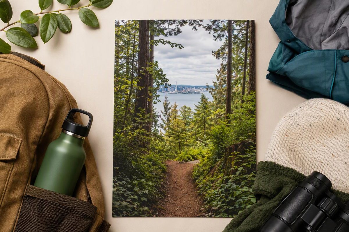
Choose Discovery Park for a first Seattle hike, Seward Park for an easier lakeside route, Carkeek Park for creek-and-beach variety, or Schmitz Preserve for a short forest escape in West Seattle. These are urban park outings, not mountain summit hikes—useful when you want nature without giving over an entire day to travel.
Choose the hike that fits your day
The time allowances below are planning estimates for walking and brief stops, excluding travel to the park. Route details and sources follow.
| Place | Best fit | Route to plan around | Allow in the park |
|---|---|---|---|
| Discovery Park, Magnolia | Forest, meadows and Puget Sound views | 2.8-mile Loop Trail; beach is extra | 1.5–2 hours for the loop |
| Seward Park, southeast Seattle | Easier walking with optional forest trails | 2.4-mile paved shoreline loop | 1–2 hours; longer with forest detours |
| Carkeek Park, northwest Seattle | Creek, orchard and beach in one outing | Piper’s Creek out-and-back; turn around to suit your time | 1.5–2.5 hours |
| Schmitz Preserve, West Seattle | A compact old-growth forest outing | Explore part of the 1.7-mile trail network | 45–90 minutes |
Discovery Park: the strongest first choice
The 2.8-mile Loop Trail moves through forest and open meadows, with viewpoints over Puget Sound. It has some short climbs rather than a sustained mountain ascent. Start from the East Lot beside the closed visitor center, or use the South Lot as an alternative loop access point. Washington Trails Association’s route guide describes both starts.
For a manageable first visit, stick to the loop. The lighthouse and beach are a detour, not part of the 2.8-mile route, so decide before setting out whether to add them. Walking down means allowing for the climb back. Stay on established trails and back from the unstable bluff edge. Loop Trail details
Access update, October 10, 2026: Seattle Parks lists Metro route 24 for the park’s southern boundary and route 33 for the North Lot near Daybreak Star Indian Cultural Center. The visitor center is closed until summer 2027, so do not rely on its indoor facilities. General visitors should use the North, East or South lots; beach parking currently requires an ADA placard. A free beach shuttle runs Thursdays–Sundays, 11 a.m.–5 p.m., through November 1, 2026, with its final beach departure at 4:45 p.m. Official Discovery Park access and notices
Seward Park: choose pavement or forest
Seward Park gives you two distinct outings: a 2.4-mile paved shoreline loop around the Lake Washington peninsula, or more rugged trails through the forested interior. The park includes old-growth forest as well as beaches and picnic areas. Seattle Parks’ Seward Park guide
Begin near the park entrance and playground. Stay on the shoreline path for the simpler walk; use an interior trail for a forest detour if everyone wants more uneven ground. WTA describes the interior paths as interconnected dirt and gravel routes with roots, logs and rocks to watch for. Seward Park route guide
This is the best choice here if your group is unsure about hiking. You can enjoy the lake without committing to the forest trails, or walk part of the shoreline and retrace your steps rather than completing the loop.
Carkeek Park: follow the creek toward the beach
Carkeek has six miles of trails across the park, not one six-mile route. Its forested ravine includes creeks, wetlands, meadows and Piper’s Orchard, with beach access over a pedestrian railroad bridge. Official Carkeek Park guide
A useful visitor route starts at the Eddie McAbee entrance on NW 100th Place near 6th Avenue NW. Follow Piper’s Creek Trail downhill, passing the orchard, and continue toward the meadow and beach if time permits. Retrace your route for a straightforward outing; remember that the return to this entrance is uphill. Ridge trails add more climbing and route choices. WTA’s Carkeek route description
Use the pedestrian bridge to reach the beach and stay off the railroad tracks. Also, do not count on an indoor visitor-center stop: the city says Carkeek’s education buildings are closed to the public. Carkeek facilities
Schmitz Preserve: a short forest anchor for West Seattle
Schmitz Preserve is the compact choice for large trees and creekside paths. It has 1.7 miles of trails in total—that figure describes the network, not a mandatory loop. WTA’s Schmitz Preserve guide
Start at SW Admiral Way and SW Stevens Street, then follow the entrance path into the forest. Keep the outing short by exploring the creekside routes and returning the way you came; branches toward the park boundaries add climbing. Carry a map and obey closure signs rather than following every informal path. Trailhead and route details
Make this your West Seattle outdoor stop, with an optional Alki visit afterward. Choose your beach outing separately rather than assuming it is included in the forest hike.
Keep the travel and weather plan simple
Pick one park, not a cross-city hiking circuit. For transit, enter the specific starting point in King County Metro’s Trip Planner and check both the outward and return journeys. Different entrances can change the walk to the trail substantially.
For light rain, bring a waterproof layer, shoes with traction, water and a saved map. Seward’s paved shoreline route is the simpler alternative if you want to avoid dirt trails, though it is still outdoors.
Strong wind is a reason to switch plans, not seek shelter beneath tall trees. Washington State Parks advises avoiding forests on very windy days and taking extra care after storms because damage can emerge later. Tree-safety guidance
If conditions turn unpleasant, drop the hike and use a rainy-day neighborhood plan. A shorter outdoor stop plus an indoor afternoon is more useful than forcing a trail day.