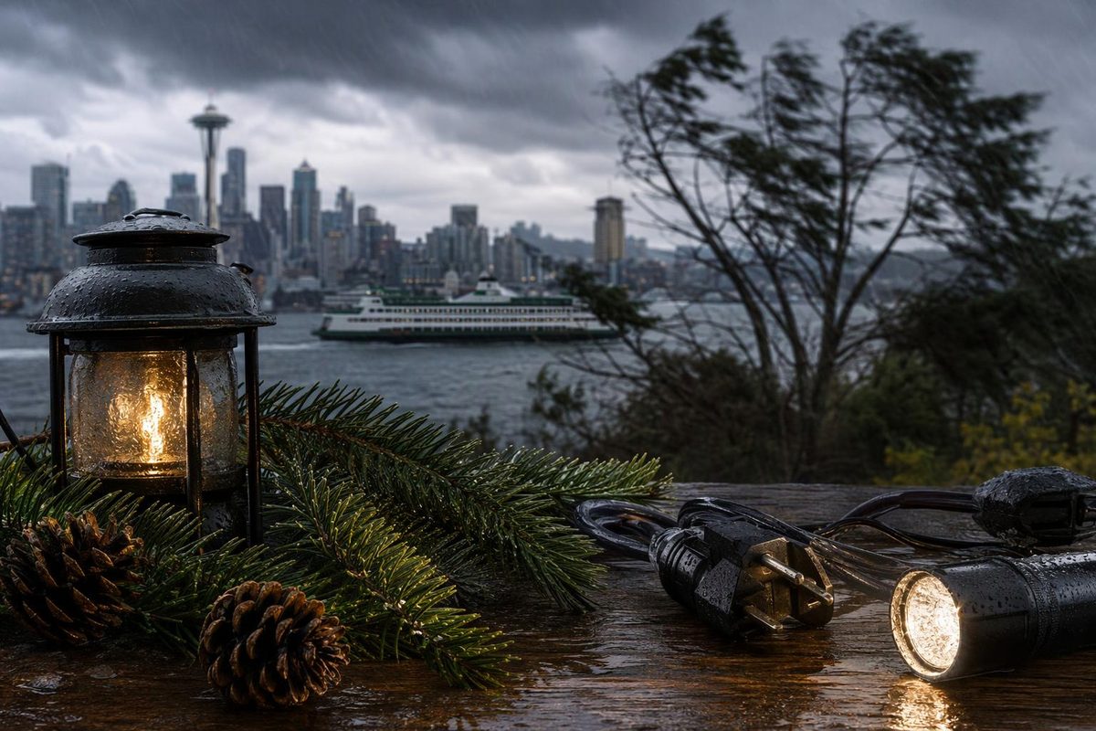
The windstorm that hit western Washington on Saturday night, Nov. 7, 2026, produced a 95 mph gust near Mount Rainier, a 69 mph gust near Hoquiam on the coast and gusts of 41 to 50 mph in and around Seattle, according to the National Weather Service’s list of peak wind reports. The Weather Service’s Seattle office issued the list as a plain-text public information statement at 5:49 a.m. on Sunday, Nov. 8, in a fixed-width layout that is hard to read on a phone and is replaced when the next statement is issued. This page puts all 74 reports into tables by county.
Caution: these are preliminary reports. The Weather Service’s statement says: “Observations are collected from a variety of sources with varying equipment and exposures.” It adds: “Not all data listed are considered official.”
The strongest gusts
The ten highest readings in the statement:
| Where |
Peak gust |
Area |
When |
| 7 NE Mount Rainier |
95 mph |
Pierce County |
9:00 PM, 11/07 |
| 1 N Crystal Mountain |
93 mph |
Pierce County |
9:00 PM, 11/07 |
| 2 NW Snoqualmie Pass |
85 mph |
King County |
3:00 AM, 11/08 |
| 3 S Crystal Mountain |
83 mph |
Pierce County |
4:00 AM, 11/08 |
| 1 S Mount Baker |
73 mph |
Whatcom County |
11:00 PM, 11/07 |
| 2 W Hoquiam |
69 mph |
Grays Harbor County |
6:19 PM, 11/07 |
| Port Townsend |
59 mph |
Jefferson County |
6:20 PM, 11/07 |
| 2 NW Shelton |
56 mph |
Mason County |
9:53 PM, 11/07 |
| 10 NW Coupeville |
55 mph |
Maritime Stations |
3:00 PM, 11/07 |
| 1 NW Ferndale |
55 mph |
Whatcom County |
5:49 PM, 11/07 |
The highest readings came from mountain sites, which are far more exposed than the lowlands.
In and around Seattle
| Where |
Peak gust |
When |
| 1 S Eastgate |
50 mph |
9:01 PM, 11/07 |
| 1 S Eastgate |
50 mph |
8:59 PM, 11/07 |
| 1 SE Seatac |
46 mph |
9:00 PM, 11/07 |
| 1 W Admiral |
45 mph |
8:52 PM, 11/07 |
| 2 NE Highland Park |
43 mph |
8:53 PM, 11/07 |
| 1 SW West Seattle |
42 mph |
8:45 PM, 11/07 |
| 4 N Capitol Hill |
41 mph |
3:46 AM, 11/08 |
Admiral, Highland Park, West Seattle and Capitol Hill are Seattle neighborhoods; Eastgate is in Bellevue, and Seatac is the city of SeaTac, around Seattle-Tacoma International Airport. Dates are month/day. The full King County list is below.
How to read a location
The Weather Service names a report by distance and direction from a place: 2 NW Snoqualmie Pass means about 2 miles northwest of Snoqualmie Pass. A place name alone means the report came from that place.
Reports by area
| Area |
Reports |
Strongest gust |
| King County |
14 |
2 NW Snoqualmie Pass, 85 mph |
| Whatcom County |
9 |
1 S Mount Baker, 73 mph |
| Maritime Stations |
7 |
10 NW Coupeville, 55 mph |
| Pierce County |
7 |
7 NE Mount Rainier, 95 mph |
| Clallam County |
6 |
4 N Sappho, 53 mph |
| Island County |
6 |
2 SW Coupeville, 49 mph |
| San Juan County |
6 |
9 E Friday Harbor, 52 mph |
| Jefferson County |
5 |
Port Townsend, 59 mph |
| Skagit County |
5 |
2 SW Anacortes, 49 mph |
| Snohomish County |
4 |
1 E Mukilteo, 48 mph |
| Grays Harbor County |
3 |
2 W Hoquiam, 69 mph |
| Lewis County |
1 |
3 NE Toledo, 46 mph |
| Mason County |
1 |
2 NW Shelton, 56 mph |
Maritime Stations is the Weather Service’s own heading for buoys and other marine sites.
Every report
King County (14 reports)
| Location |
Peak gust |
Time |
Date |
| 2 NW Snoqualmie Pass |
85 mph |
3:00 AM |
11/08 |
| 1 S Eastgate |
50 mph |
9:01 PM |
11/07 |
| 1 S Eastgate |
50 mph |
8:59 PM |
11/07 |
| 1 SE Seatac |
46 mph |
9:00 PM |
11/07 |
| Enumclaw |
46 mph |
9:30 PM |
11/07 |
| 1 W Admiral |
45 mph |
8:52 PM |
11/07 |
| 1 E Snoqualmie |
45 mph |
10:10 PM |
11/07 |
| 1 SW Snoqualmie Pass |
44 mph |
11:00 PM |
11/07 |
| 2 NE Highland Park |
43 mph |
8:53 PM |
11/07 |
| 2 NE Enumclaw |
43 mph |
10:08 PM |
11/07 |
| Enumclaw |
43 mph |
9:26 PM |
11/07 |
| 1 SW West Seattle |
42 mph |
8:45 PM |
11/07 |
| 4 N Capitol Hill |
41 mph |
3:46 AM |
11/08 |
| 2 SW Selleck |
40 mph |
9:40 PM |
11/07 |
Whatcom County (9 reports)
| Location |
Peak gust |
Time |
Date |
| 1 S Mount Baker |
73 mph |
11:00 PM |
11/07 |
| 1 NW Ferndale |
55 mph |
5:49 PM |
11/07 |
| 2 NE Marietta |
52 mph |
7:10 PM |
11/07 |
| 1 NE Lynden |
52 mph |
6:55 PM |
11/07 |
| 3 NW Bellingham |
48 mph |
6:05 PM |
11/07 |
| 5 W Ferndale |
48 mph |
6:57 PM |
11/07 |
| 3 NW Bellingham |
45 mph |
6:05 PM |
11/07 |
| 2 NW Birch Bay |
43 mph |
6:10 PM |
11/07 |
| 6 N Deming |
42 mph |
7:09 PM |
11/07 |
Maritime Stations (7 reports)
| Location |
Peak gust |
Time |
Date |
| 10 NW Coupeville |
55 mph |
3:00 PM |
11/07 |
| Port Townsend |
53 mph |
6:24 PM |
11/07 |
| 3 NW Weallup Lake |
47 mph |
9:30 PM |
11/07 |
| 1 N Westport |
46 mph |
5:48 PM |
11/07 |
| 4 S Tulalip |
45 mph |
9:20 PM |
11/07 |
| 4 NE Winslow |
41 mph |
2:20 AM |
11/08 |
| 19 SW Ozette |
40 mph |
7:41 PM |
11/07 |
Pierce County (7 reports)
| Location |
Peak gust |
Time |
Date |
| 7 NE Mount Rainier |
95 mph |
9:00 PM |
11/07 |
| 1 N Crystal Mountain |
93 mph |
9:00 PM |
11/07 |
| 3 S Crystal Mountain |
83 mph |
4:00 AM |
11/08 |
| 2 SE Graham |
47 mph |
9:10 PM |
11/07 |
| 4 N Tacoma |
44 mph |
9:30 PM |
11/07 |
| 4 N Tacoma |
41 mph |
8:30 PM |
11/07 |
| 1 SW Bonney Lake |
41 mph |
9:14 PM |
11/07 |
Clallam County (6 reports)
| Location |
Peak gust |
Time |
Date |
| 4 N Sappho |
53 mph |
2:00 AM |
11/08 |
| 2 SW Hurricane Ridge |
52 mph |
12:00 AM |
11/08 |
| La Push |
47 mph |
4:54 PM |
11/07 |
| 3 N Gardiner |
47 mph |
7:48 PM |
11/07 |
| 1 SW Quillayute |
46 mph |
4:53 PM |
11/07 |
| Forks |
42 mph |
5:33 PM |
11/07 |
Island County (6 reports)
| Location |
Peak gust |
Time |
Date |
| 2 SW Coupeville |
49 mph |
3:49 PM |
11/07 |
| 9 N Freeland |
47 mph |
3:20 AM |
11/08 |
| 3 SE Coupeville |
45 mph |
7:46 PM |
11/07 |
| 4 N Oak Harbor |
44 mph |
5:53 PM |
11/07 |
| 1 SW Oak Harbor |
44 mph |
3:14 AM |
11/08 |
| 3 SE Freeland |
43 mph |
9:12 PM |
11/07 |
San Juan County (6 reports)
| Location |
Peak gust |
Time |
Date |
| 9 E Friday Harbor |
52 mph |
6:00 PM |
11/07 |
| 1 SW Friday Harbor |
47 mph |
6:10 PM |
11/07 |
| 7 SE Friday Harbor |
43 mph |
6:08 PM |
11/07 |
| 7 E Friday Harbor |
42 mph |
6:51 PM |
11/07 |
| 1 N Friday Harbor |
41 mph |
7:42 PM |
11/07 |
| 1 N Eastsound |
40 mph |
7:15 PM |
11/07 |
Jefferson County (5 reports)
| Location |
Peak gust |
Time |
Date |
| Port Townsend |
59 mph |
6:20 PM |
11/07 |
| 4 E Port Townsend |
54 mph |
6:25 PM |
11/07 |
| 12 W Mount Olympus |
49 mph |
12:00 AM |
11/08 |
| 2 N Port Townsend |
48 mph |
6:00 PM |
11/07 |
| 3 NW Port Hadlock |
40 mph |
6:15 PM |
11/07 |
Skagit County (5 reports)
| Location |
Peak gust |
Time |
Date |
| 2 SW Anacortes |
49 mph |
6:02 PM |
11/07 |
| Mount Vernon |
48 mph |
7:00 PM |
11/07 |
| 4 S Mount Vernon |
42 mph |
12:26 AM |
11/08 |
| 1 SE Mount Vernon |
41 mph |
12:36 AM |
11/08 |
| 1 NE Swinomish Village |
40 mph |
3:43 AM |
11/08 |
Snohomish County (4 reports)
| Location |
Peak gust |
Time |
Date |
| 1 E Mukilteo |
48 mph |
9:00 PM |
11/07 |
| 5 E Arlington |
45 mph |
2:42 AM |
11/08 |
| Edmonds |
43 mph |
9:03 PM |
11/07 |
| 1 W Everett |
42 mph |
9:11 PM |
11/07 |
Grays Harbor County (3 reports)
| Location |
Peak gust |
Time |
Date |
| 2 W Hoquiam |
69 mph |
6:19 PM |
11/07 |
| 7 SE Quinault |
53 mph |
7:08 PM |
11/07 |
| 1 N Ocean Shores |
41 mph |
4:55 PM |
11/07 |
Lewis County (1 report)
| Location |
Peak gust |
Time |
Date |
| 3 NE Toledo |
46 mph |
8:15 PM |
11/07 |
Mason County (1 report)
| Location |
Peak gust |
Time |
Date |
| 2 NW Shelton |
56 mph |
9:53 PM |
11/07 |
Power outages, as reported
These figures come from MyNorthwest’s report (Nov. 8, updated 2:59 p.m.), not from the utilities’ own records:
- Close to 110,000 customers were without power at the peak.
- By 3 p.m. on Sunday, Puget Sound Energy had about 3,100 customers out in Kitsap, Thurston, Pierce and King counties; Seattle City Light had 600; and Snohomish County PUD had about 100.
- Grays Harbor PUD went from more than 9,000 customers out to a handful.
- Southbound Interstate 5 was blocked near U.S. 12 in Lewis County just before 10 p.m. on Saturday, and State Route 113 was closed in Clallam County.
Limits of this page
- The list is the Weather Service’s 5:49 a.m. statement of Nov. 8, 2026. Later statements can add or correct reports.
- Four locations (1 S Eastgate, Enumclaw, 4 N Tacoma and 3 NW Bellingham) appear twice in the statement, with different times, and so twice here.
- Times are as printed in the statement, in Pacific time.
- An hour-by-hour outage history by neighborhood is not public. Utility outage maps show only current outages, so this page cannot say when power failed or returned in a particular neighborhood.
- The outage and road figures are one outlet’s reporting and were not checked against utility or state transportation records.